![[map]](siteplans.gif)
This set of pictures are from the Bolton Institute archive, and were taken mostly prior to the tower block being built. The other pages in this set are second, third, fourth and Fifth. The map on the first page should be used to determine the detailed location.
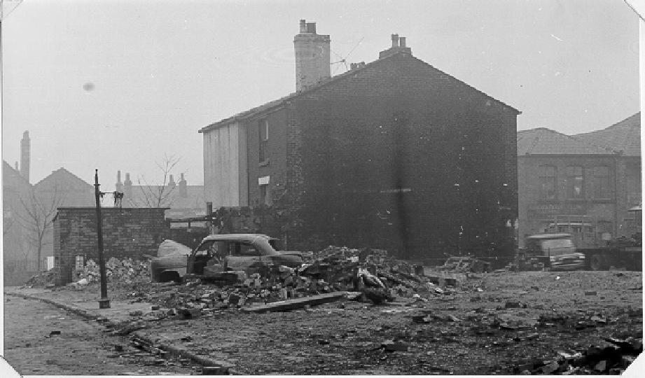
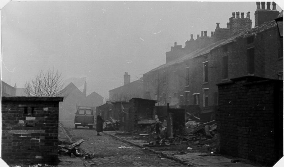
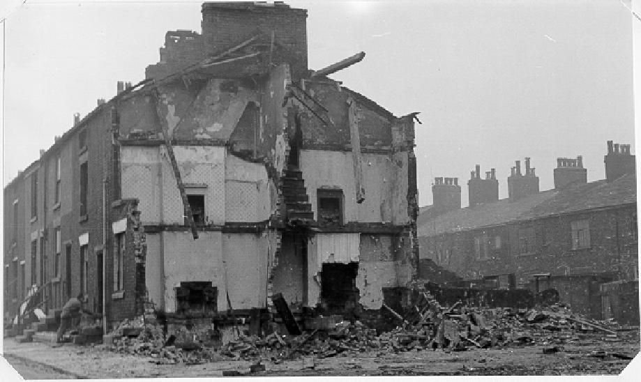
![[houses and rubble]](backofjamesstreet.gif)
12k GIF 74k JPEG Back James Street. January 18th 1965.
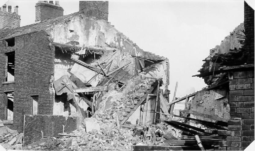
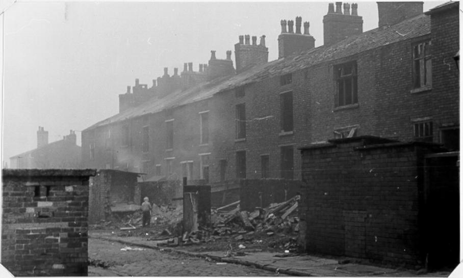
| ![[house being demolished]](backjamesstreet47.gif)
14k GIF 92k JPEG Back James Street. January 25th 1965.
|
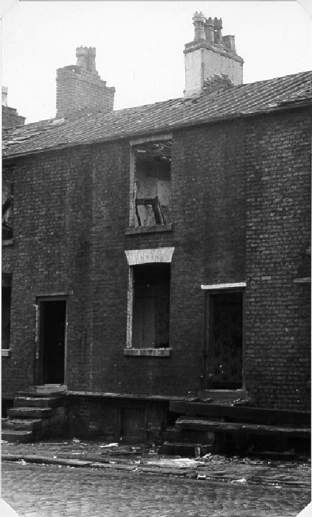
![[derelict house]](35jamesstreet.gif)
9k GIF 55k JPEG Number 35 James Street. January 18th 1965.
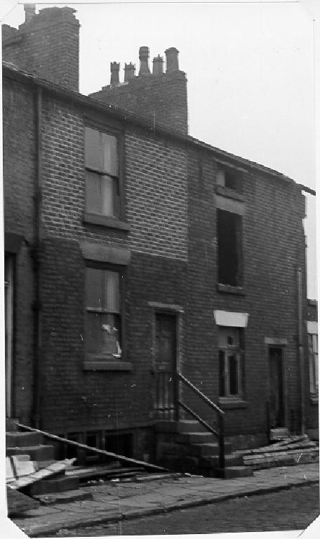
| ![[derelict house]](37jamesstreet.gif)
10k GIF 48k JPEG Number 37 James Street. January 18th 1965.
|
![[narrow cobbled road back of houses]](40backofjamesstreet.gif)
12k GIF 47k JPEG Number 40 Back James Street. January 18th 1965.
| ![[narrow cobbled road back of houses]](41backofjamesstreet.gif)
12k GIF 51k JPEG Number 41 Back James Street. January 18th 1965.
|
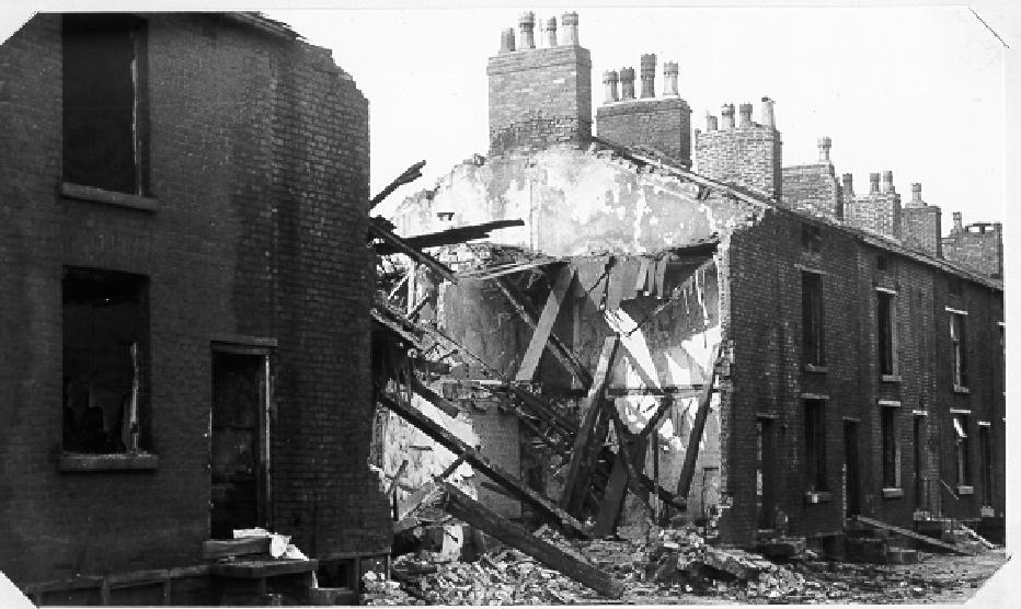
![[badly damaged house]](48jamesstreetroundcrofttavernnextdoor.gif)
14k GIF 74k JPEG Number 48 James Street. Next door but one to the Roundcroft Tavern. January 25th 1965.
| ![[badly damaged house]](49jamesstreet.gif)
16k GIF 91k JPEG Number 48 James Street. Next door but one to the Roundcroft Tavern. January 25th 1965.
|
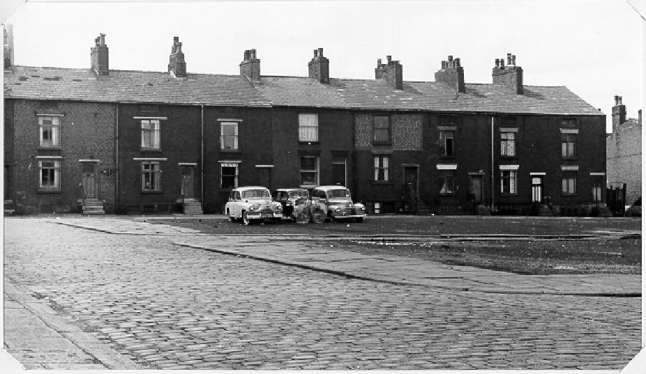
![[cobbled street, cars and houses]](housesinjamesstreet.gif)
14k GIF 90k JPEG Houses in James Street. May 13th 1964.
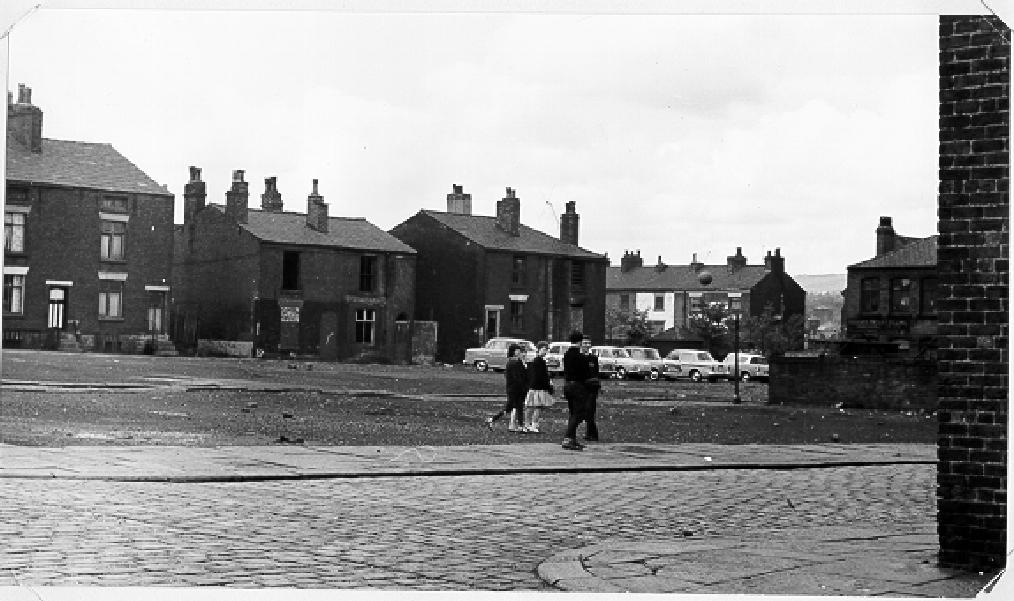
| ![[open land and houses]](jamesstardwickstdemolished.gif)
16k GIF 95k JPEG The houses of James Street and the demolished side of Ardwick Street. During the second world war, on October 12th 1941, as a result of enemy action, two bombs were dropped, damage was inflicted in the Ardwick Street, Punch Street and James Street area, casualties being 11 killed and 64 injured. May 13th 1964.
|
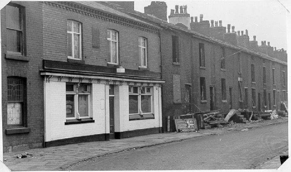
![[row of houses]](jamesstreettodeanestreet.gif)
15k GIF 83k JPEG James Street to Deane Road. January 18th 1965.
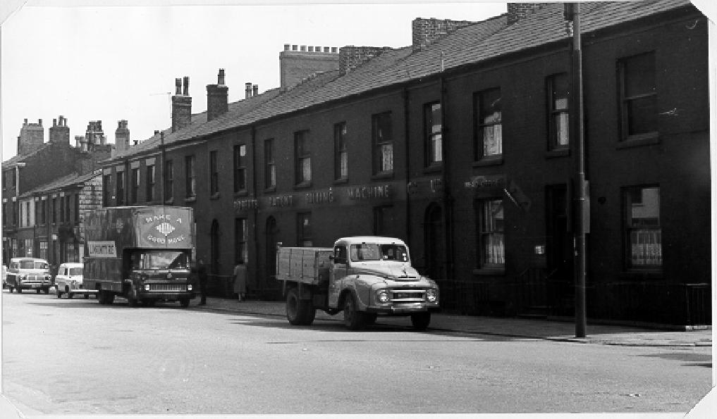
| ![[street with trucks and houses]](jamessttodeaneroberts.gif)
15k GIF 77k JPEG Returning down James Street to Deane Road, the front of Roberts Patent Filling Machine Co. Ltd. May 13th 1964.
|
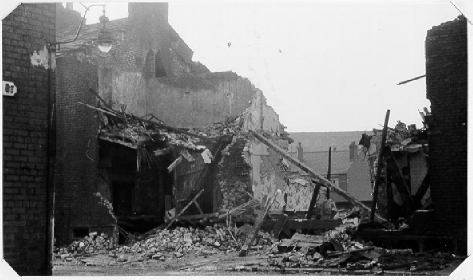
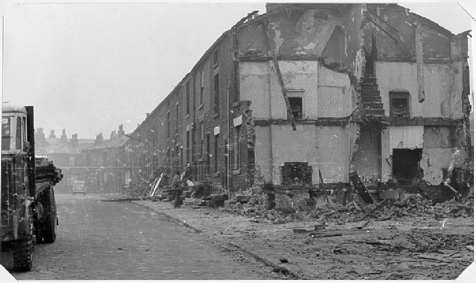
![[road with partly demolished houses]](jamesstreettoderbystreet.gif)
14k GIF 76k JPEG James Street to Derby Street. January 18th 1965.
| ![[road with partly demolished houses]](jamesstreettoderbystreet38.gif)
15k GIF 87k JPEG James Street to Derby Street. January 18th 1965.
|
![[rubble at the side of a house]](jamesstliptrottst.gif)
The other pages in this set are second, third, fourth and Fifth. The map on the first page should be used to determine the detailed location.
These pictures are resampled from the original BMP format, with some slight expansion to the standard size used on this web site. Permission to use these pictures is gratefully acknowledged to Bolton Institute (in particular the Buildings and Estates manager) and they remain copyright.
Please email the webmaster to request additional depth, detailing what you want to see.
DISCLAIMER: Errors and Omissions Excepted.
[Home] [Bolton] [Index] [Gallery] [Webcam] [Updated] [Walk] [Drive] [Links]